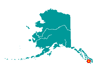
Thorne Bay is 38 air miles northwest of Ketchikan on the eastern side
of Prince of Wales Island. On the Island road system, it lies 59 miles
from Hollis and 36 miles east of the Klawock Junction. It lies at
approximately 54° 41' N Latitude, 132° 31' W Longitude (Sec. 12, T071S,
R084E, Copper River Meridian). The community is located in the Ketchikan
Recording District. The area encompasses 19 sq. miles of land and 5 sq.
miles of water.
 The
Bay was named after Frank Manley Thorn, superintendent of the U.S. Coast
& Geodetic Survey from 1885 through 1889. The name was misspelled when
published. Thorne Bay was developed as a result of a long-term timber
sales contract between the U.S. Forest Service and the Ketchikan Pulp
Company. In 1960, a floating logging camp was built in Thorne Bay, and
in 1962 a shop, barge terminal, log sort yard and camp were built to
replace facilities at Hollis. Roads were then constructed to connect
Thorne Bay with Hollis, Craig and Klawock. During this time, it was
considered the largest logging camp in North America. Thorne Bay evolved
from a company-owned logging camp to an incorporated city by 1982, due
in part to the land selection program provided for in the Alaska
Statehood Act.
The
Bay was named after Frank Manley Thorn, superintendent of the U.S. Coast
& Geodetic Survey from 1885 through 1889. The name was misspelled when
published. Thorne Bay was developed as a result of a long-term timber
sales contract between the U.S. Forest Service and the Ketchikan Pulp
Company. In 1960, a floating logging camp was built in Thorne Bay, and
in 1962 a shop, barge terminal, log sort yard and camp were built to
replace facilities at Hollis. Roads were then constructed to connect
Thorne Bay with Hollis, Craig and Klawock. During this time, it was
considered the largest logging camp in North America. Thorne Bay evolved
from a company-owned logging camp to an incorporated city by 1982, due
in part to the land selection program provided for in the Alaska
Statehood Act.