|
Klukwan
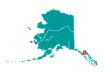 Klukwan
is located on the bank of the Chilkat River, about 22 miles north of
Haines, off the Haines Highway. It lies at approximately 59° 24' N
Latitude, 135° 53' W Longitude (Sec. 33, T028S, R056E, Copper River
Meridian). The community is located in the Haines Recording District.
The area encompasses 2 sq. miles of land and 0 sq. miles of water. Klukwan
is located on the bank of the Chilkat River, about 22 miles north of
Haines, off the Haines Highway. It lies at approximately 59° 24' N
Latitude, 135° 53' W Longitude (Sec. 33, T028S, R056E, Copper River
Meridian). The community is located in the Haines Recording District.
The area encompasses 2 sq. miles of land and 0 sq. miles of water.
In 1880, the U.S. Navy reported the
name of the village as "Chilcat of Klukquan," which is said to mean "the
old town." The Chilkat controlled the trails to trade with Interior
Indians. At that time, the Chilkat numbered approximately 1,000 among
five area villages. In 1881, the Willard mission and school was
constructed in Haines. Four canneries were built in the area by the turn
of the century. In the late 1890s, the Dalton Trail from Chilkat Inlet
to Whitehorse offered an easier route for wagons and cattle to the
Klondike gold fields. However, the Chilkoot Trail out of Skagway was
used by most prospectors. By the early 1900s, Klukwan was the last
remaining Chilkat village in the area.
Originally a Tlingit Indian village the name of which, as reported by
the U.S. Navy in 1880, was "Chilcat of Klukquan," which is said to mean
"the old town." W. H. Dale (U.S. Coast and Geodetic Survey, 1883 p.
198), U.S. Coast and Geodetic Survey (USC&GS), reported the inhabitants
called the village "Klu-kwan." At that time it consisted of 65 houses
and 560 inhabitants. Aurel and Arthur Krause (1883, map) reported the
name as "Kloquan." It was listed in the 11th Census in 1890 as "Klakwan,"
and it had 30 houses and 326 inhabitants, of which only three were
non-Indian. The spelling "Klukwan" was adopted by the Canadian Board on
Geographic Names. Located on the north shore of Chilkat River, 2.6 km
(1.4 mi) southeast of Glass Point and 34 km (21 mi) southwest of
Skagway, Coast Mountains
|