|
Gulkana
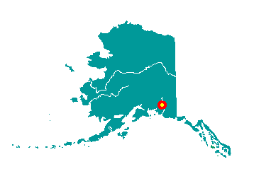
Gulkana is located on the east bank of the
Gulkana (Kulkana) River at its confluence with the Copper River. It lies
at mile 127 of the Richardson Highway, 14 miles north of Glennallen. It
lies at approximately 62° 16' N Latitude, 145° 23' W Longitude (Sec. 27,
T006N, R001W, Copper River Meridian). The community is located in the
Chitina Recording District. The area encompasses 12 sq. miles of land
and 0 sq. miles of water.
 The
Ahtna people have occupied this area for 5,000 to 7,000 years. Gulkana
was originally established in 1903 as a telegraph station, and was named
"Kulkana" after the nearby river. The Gulkana Roadhouse was built in the
early 1900s by C.L. Hoyt, a fur dealer who ran the roadhouse until 1916.
A store, post office and Orr stage station were located nearby. Gulkana
was originally located across the river from its present site; it was
cut in half during construction of the Richardson Highway during World
War II. In the early 1950s, the first house was built at the new site.
Chief Ewan and his family were the first Native residents, and
eventually all of the villagers relocated. The
Ahtna people have occupied this area for 5,000 to 7,000 years. Gulkana
was originally established in 1903 as a telegraph station, and was named
"Kulkana" after the nearby river. The Gulkana Roadhouse was built in the
early 1900s by C.L. Hoyt, a fur dealer who ran the roadhouse until 1916.
A store, post office and Orr stage station were located nearby. Gulkana
was originally located across the river from its present site; it was
cut in half during construction of the Richardson Highway during World
War II. In the early 1950s, the first house was built at the new site.
Chief Ewan and his family were the first Native residents, and
eventually all of the villagers relocated.
|