|
Borough & Census Area Maps
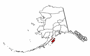
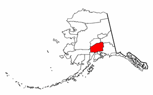
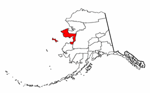
These
are not required but are strongly suggested to assist your site visitors,
especially for those new to Alaska research.
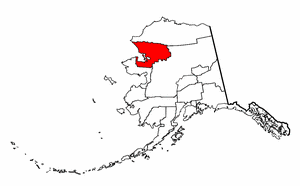
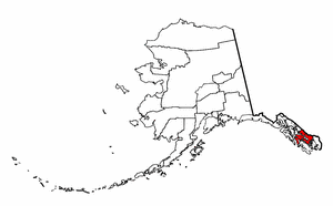
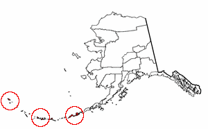
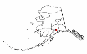
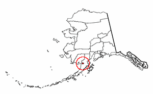
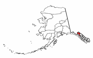
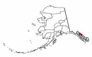
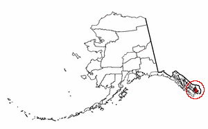
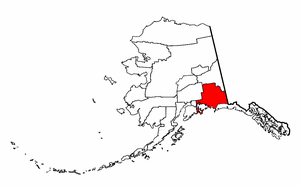
Each map measures 300x186 pixels -
exactly as you see on the maps below. Where I originally had them all
on one page for you, their size didn't permit a nice web display. So,
I've selected three representational maps to give you an idea of what they
look like. If you'd like to have one for your AKTTTP hosted page,
simply click on the administrative division name in the right-hand column.
The graphic for that particular area will come up.
| 
